A range of Banjotown area historical maps can be viewed via external web pages:
1681
1687
Early Land Grants: 1681 - 1748
1776 (drawn 1976)
1776 (drawn 1976) overlaid onto 2015
1785
1789 Delaware County creation
1816
1848 - Delaware County
1848 - Radnor (cleaned)
1860
1862
1868
1870
1871 (with name key)
1875
1881
1887
1887 (geological)
1892
1893
1897
1900
1902
1908
1909
1913
1920
1926
1937
1942-6 historical features
1948
1961
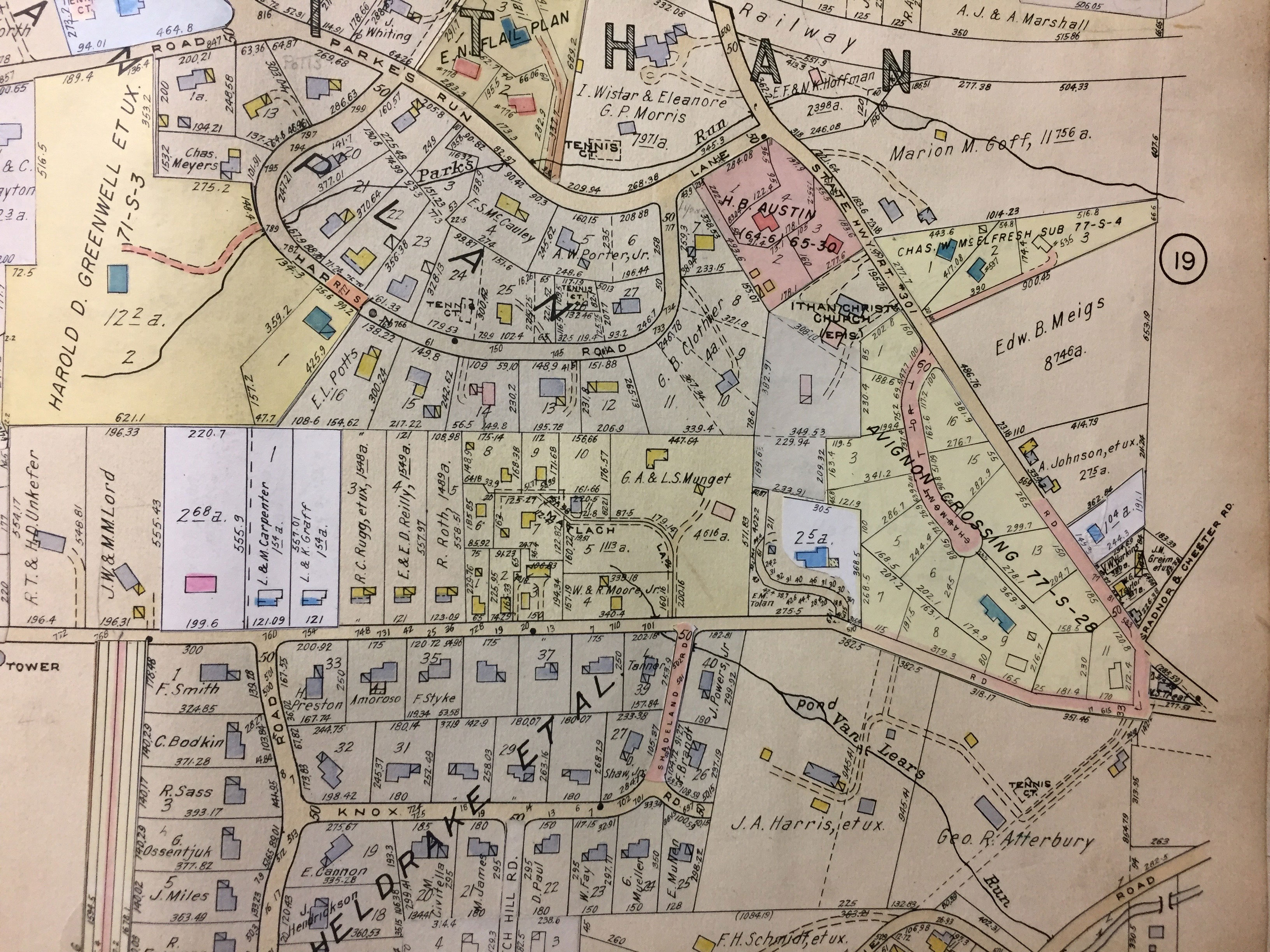
1968-77
1979 (Delaware County aerial)
|